
Detour #171: Kalamunda Zig Zag, Western Australia
The clue is in the name. This barely two-mile ascent east of Perth is absolutely teeming with the tightest turns.
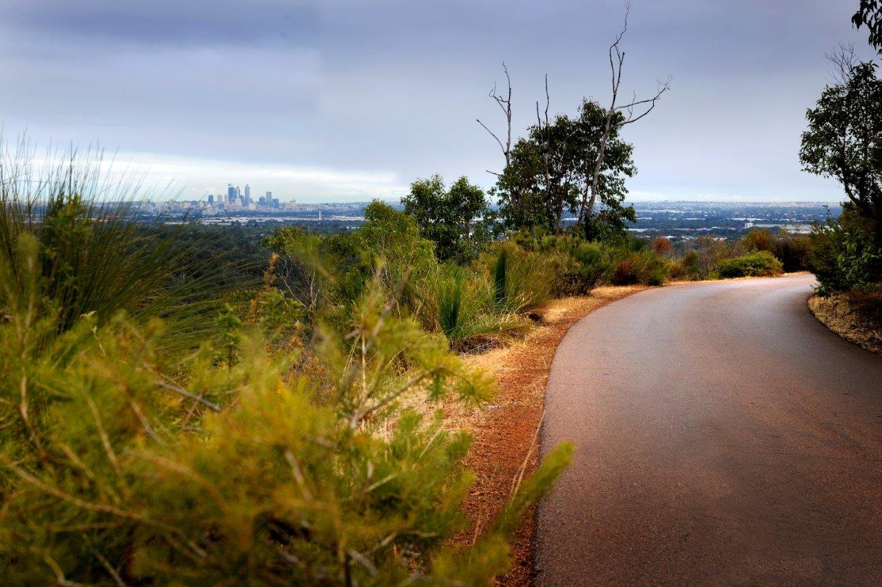
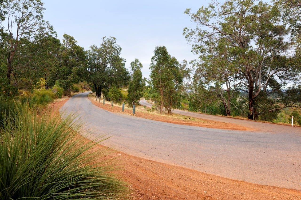
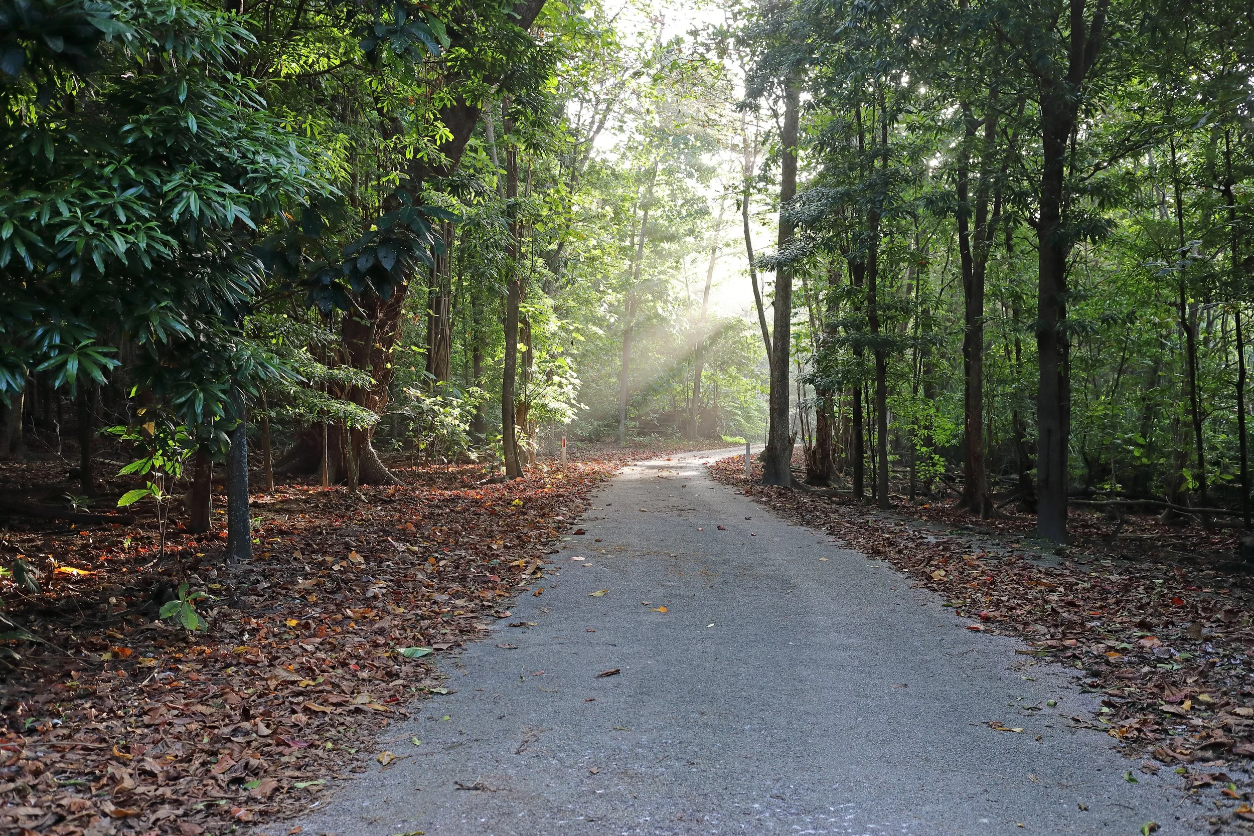
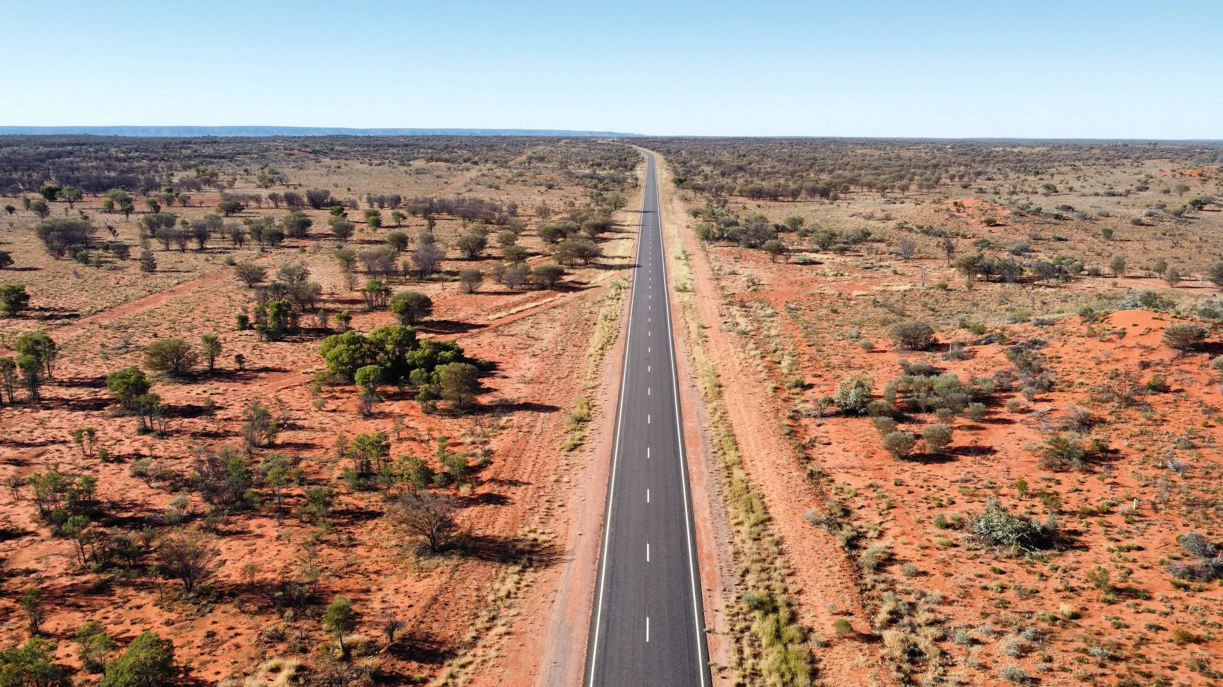
The Kalamunda Zig Zag winds its way up the steep side of Gooseberry Hill National Park in the Darling Range, offering up a spectacular view of the city below and the rugged bush in between. In that respect it reminds us a little of Los Angeles’ Mulholland Highway, but not only is it much shorter, it’s way narrower as well.
Originally a railway line, built to support the busy timber industry of the early 1900s, it was used to send logs down the hillside which where then cut into railway sleepers to extend the main line.
You’ll be wanting a car that handles like it’s on rails to negotiate the twists and turns even though the speed limit is just 25mph and you’ll find yourself sharing the narrow road with walkers and cyclists. It’s a good job there’s a strict one-way system and stopping isn’t allowed except in designated areas.
The road is only open from 11am to 8.30pm and anyone still making their way down will be locked in and have to make their way home on foot!
Did you know that Britain’s Bendiest Road is also called Zig Zag Hill?
Photography Chris Kershaw / City of Kalamunda
ROADBOOK
CLASS: Quick trip
NAME: Kalmunda Zig Zag Scenic Drive
ROUTE: Gooseberry Hill
COUNTRY: Australia
DISTANCE: 2 miles


For stunning sandstone canyons draped in eucalyptus forest and a leisurely meander through heritage towns, few drives can match Australia’s Blue Mountains.