
Detour #182: Drive free in Yosemite

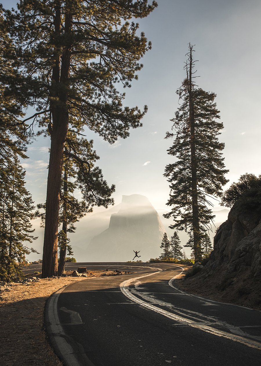
Photo Peter Thomas / Unsplash
Take an epic drive in the Sierra Nevada mountains, passing by ancient forests, Old West Towns, tumbling waterfalls and tranquil lakes…
Yosemite’s reputation precedes it, with its dramatic and beautiful vistas captured in the photography of Ansel Adams, and efforts to conquer its wild and fearsome beauty brought to life in documentaries such as Free Solo and The Dawn Wall, which followed the attempts of free-climbers to scale El Capitan, the park’s iconic granite monolith.
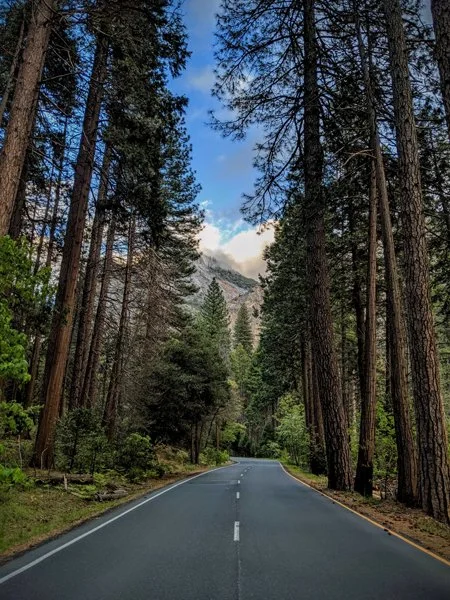
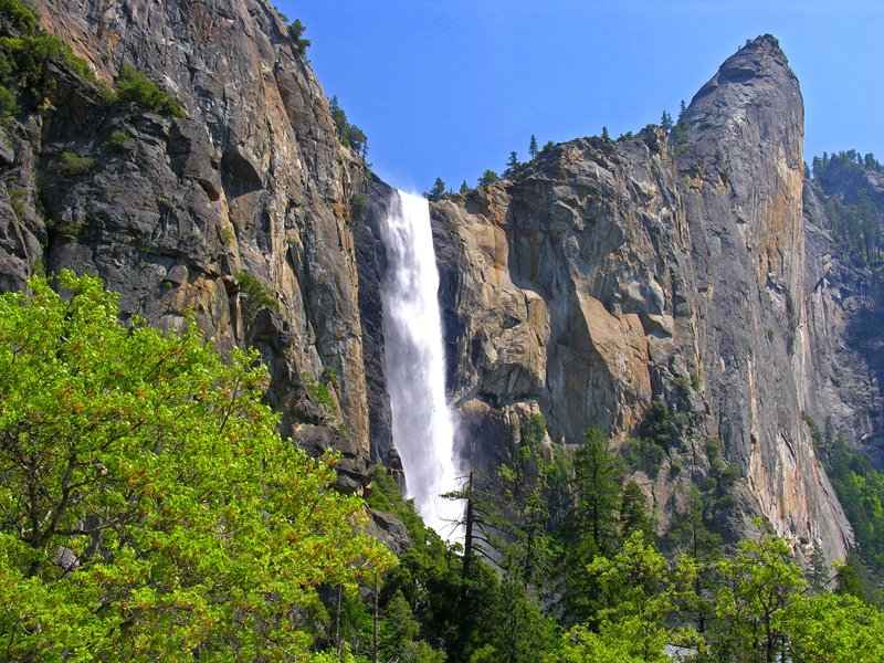
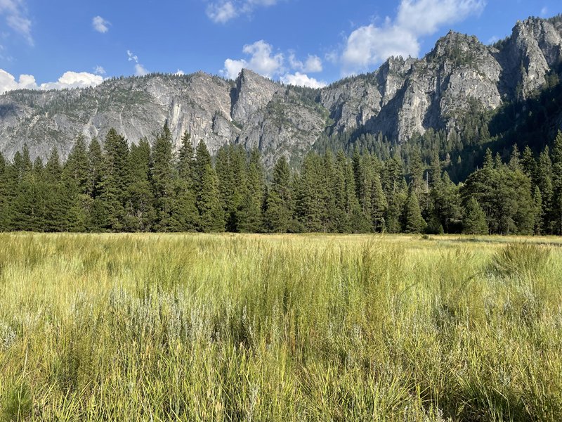
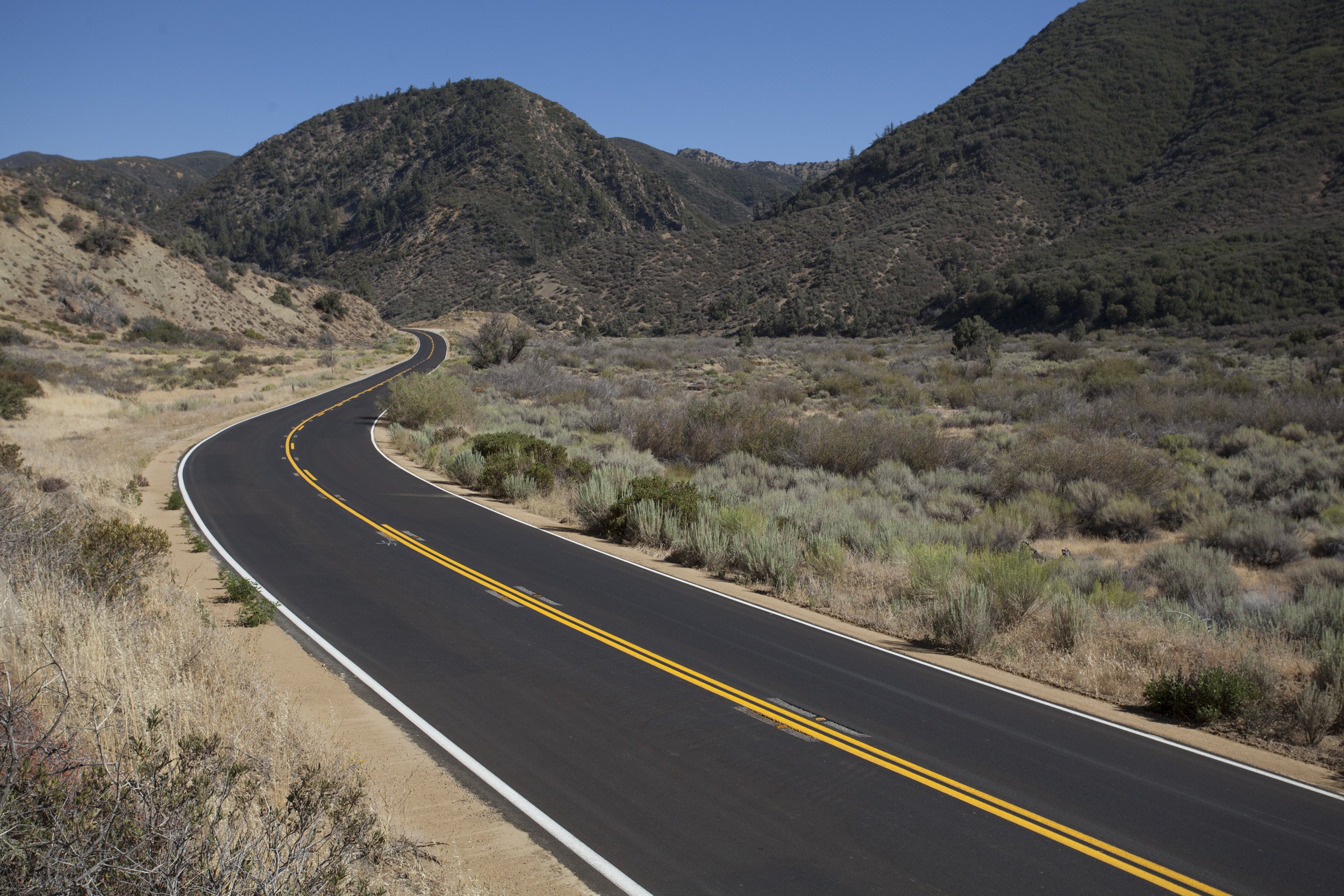
There are stunning roads leading up to and within the 1,000-square-mile park. Many visitors only head to the eight-mile valley loop where all the most famous highlights can be seen up close, including the pretty cascade of Bridalveil, the pounding Yosemite Falls and viewpoints to watch climbers disappear like ants up El Capitan. Consequently, the road is slow. It’s gorgeous but for some real driving – which also includes all the awesome views – it’s the other roads we’re talking about. And what’s really impressive on a drive through the region is the diversity of the landscape you’ll go through, one minute you’re on dark forest roads, the next you’re heading past other-worldly rock formations.
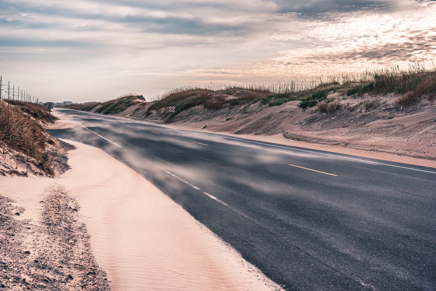
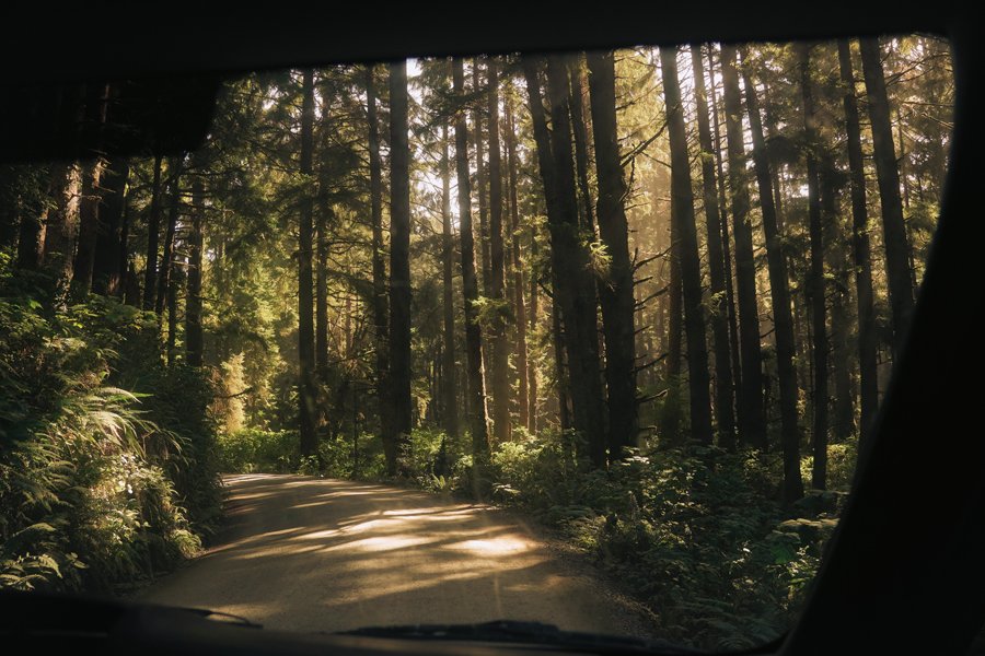
Coming into the park’s south entrance via Highway 41 took me on a twisting, turning stretch, clinging cliffside around bends and gawping at the vertiginous drop below. Then it was windows down to breathe in the heady scent of the forests as I whizzed through. You’ll also see some of the blackened woodland that has been destroyed by fires, reminding you just how vulnerable the area can be.

Photo Casey Horner / Unsplash
The route goes via the small enclave of Wawona – I stopped overnight at the Redwood Cabins. The cabins vary from plush to Stephen-King scary (mine) but at night, the blanket of stars is wonderful, regardless. From here you can pick up the trailhead to Chilnualna Falls. It’s a fabulous away-from-it-all hike offering bird’s-eye Yosemite vistas. A mountain lion has been spotted in the area – but don’t let that put you off. It’s the bears in Yosemite you need to be aware of: yep, you really do need to adhere to the warnings about not leaving food in the boot of your car.
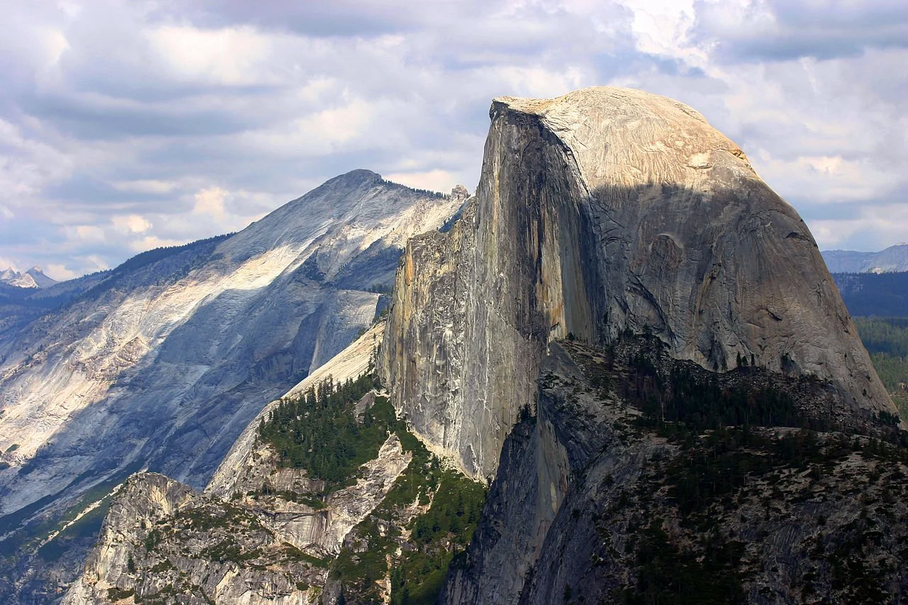
Carry along Highway 41 – you’ll go through a long tunnel and then emerge to Ansel Adams’ famous panorama of Tunnel View where you can see El Capitan, with Half Dome in the background, and Bridalveil.
The Tioga Road (Highway 120) meanwhile goes across the park from east to west, reaching high elevations on the 46-mile stretch and offering mind-blowing views – it is however closed for winter (and we’re talking around November until May). Olmsted Point is a top spot to take a breather and enjoy the scene across the flat white rocks. Highway 120 will take you past Tenaya Lake, a serene place for a summer dip, and Tuolumne Meadows, which marks another change in scenery. And you’ll go via Tioga Pass, the highest highway pass in California.
When it reopens in spring 2023 after restoration, Glacier Point Road is another epic drive through the park, and many argue that it offers the best views in Yosemite.
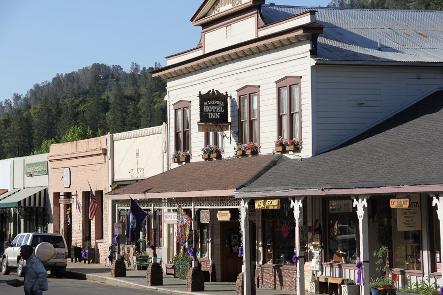
Highway 140, which opened in 1926, is known as the all-season highway as it usually remains snow free. You can relive the Old West along it with Gold Rush towns such as Hornitos (population: 50) and Mariposa. Hornitos features crumbling ruins including that of the D. Ghirardelli & Co. Store (of the San Francisco chocolate fame).
Mariposa is an atmospheric town to amble around with an historic main street, including a courthouse and jailhouse, and has restaurants and inns for a pit stop. As you head further along Highway 140, you’ll climb up to Midpines Summit and plunge down to Midpines where you can cool off in the Merced River. Further along, breath in as you drive over the old narrow Briceburg suspension bridge crossing the river.
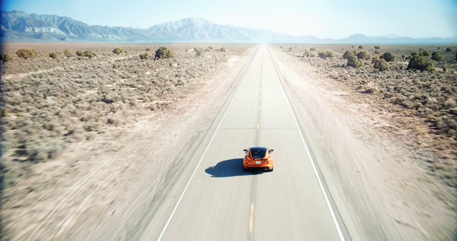
Whichever route you choose, fill up with gas before you arrive – stations are few and far between and you’ll pay for the privilege. And plan to hit the actual entry gates to the park early before queues build up. Keep an eye on the park’s Twitter feed for the latest road updates, or call the hotline - some drives may need snow chains and some routes may close during summer forest fires. Plan to be flexible – as all the roads in and around Yosemite are impressive.
Words Tina Lofthouse
Photography Isaac Garcia, Grant Ritchie, Casey Horner / Unsplash
ROADBOOK
CLASS: national treasure
NAME: yosemite
ROUTE: bridalveil to mariposa
COUNTRY: usa
DISTANCE: 230 miles


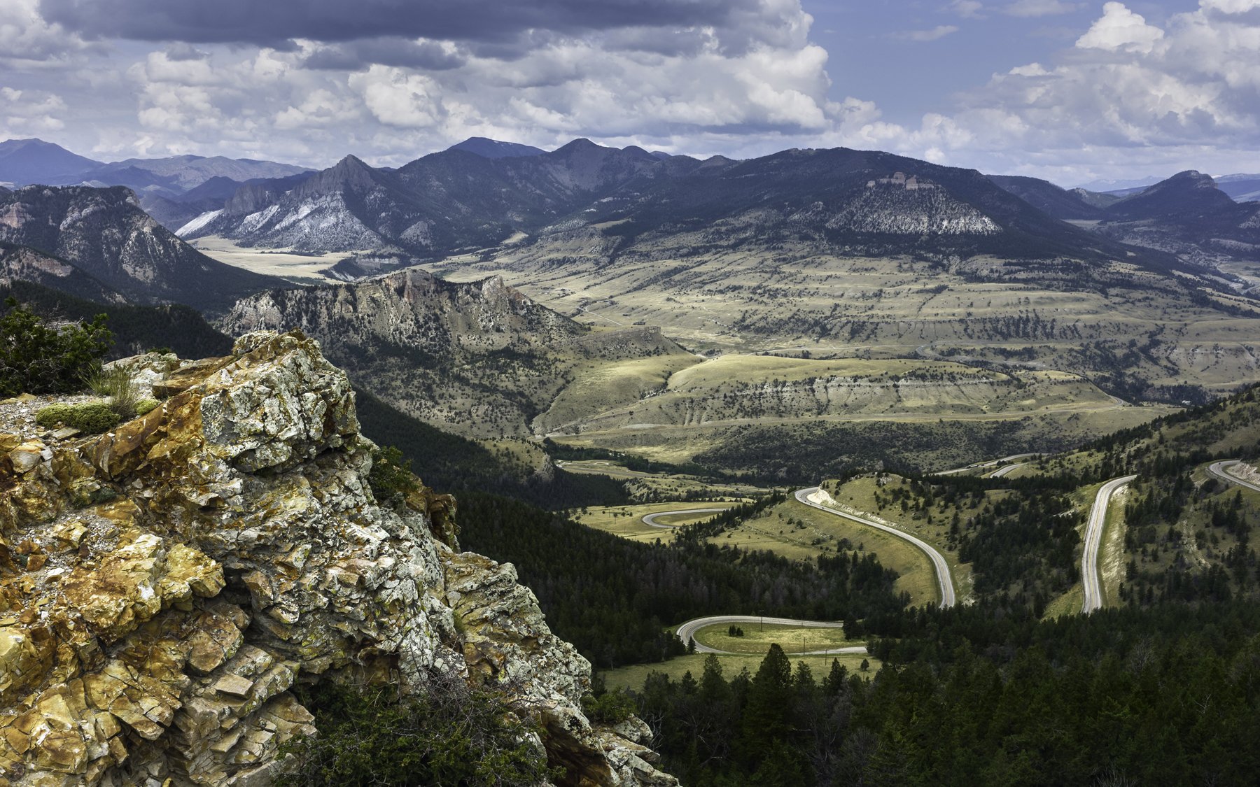


In Taylor' Sheridan’s Yellowstone the Dutton clan are forever driving across the breathtaking Montana landscape. Here’s how to follow them.