
Detour #295: Paying the Price at Pikes Peak is Worth Every Penny, Colorado, USA
Photo Noah Glynn / Unsplash
Reserve your spot in advance if you want to experience the altitude of Pikes Peak, says Colorado native Ross Robbins.
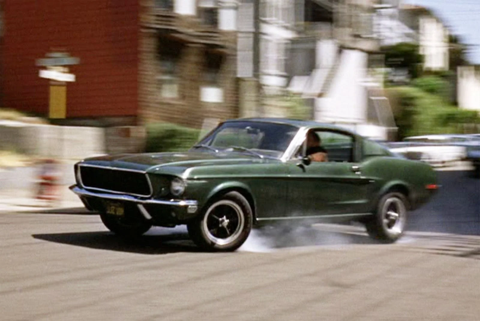
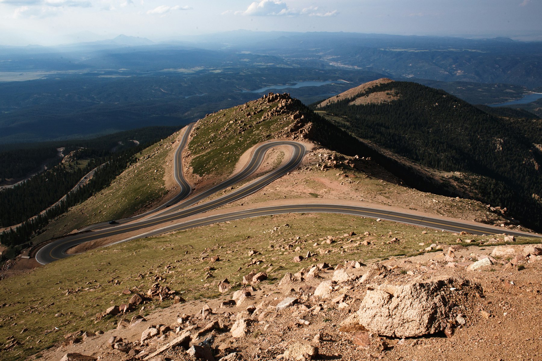
Driving the road for the famous Pikes Peak International Hillclimb is definitely a bucket list item. It’s conscripted from the public for the race one week each year for the course that runs 12 miles up into the clouds at the top of Pikes Peak, at 14,115 feet (4,300 metres) above sea level. That’s when the myriad of racers in everything from ordinary street cars to the most exotic specials attack the hill trying their hardest to beat the ten-minute mark. The best do, but most do not.
Almost any other week, unless it is closed for weather or winter, you can pay the toll and drive the 19-mile stretch of roadway including that 12 miles of race asphalt, exactly where they do – though not nearly so fast, of course.

Photo Hyundai
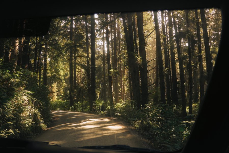
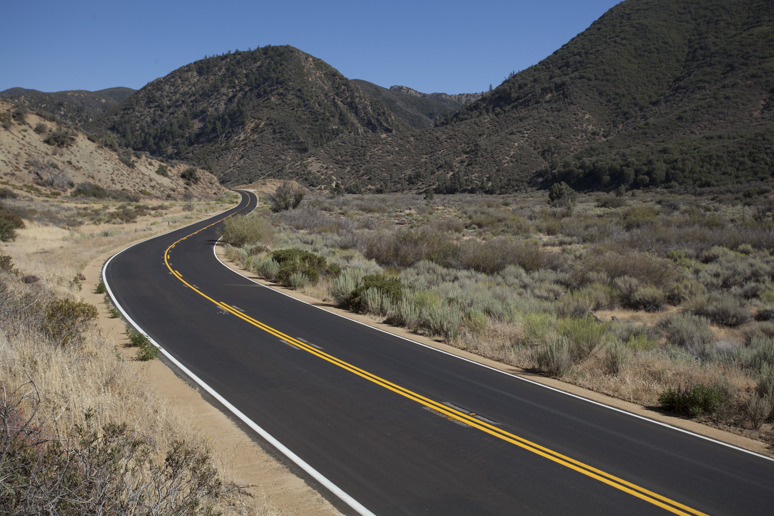
The real climb starts just west of Colorado Springs, in the little town of Cascade, then twists and turns through alpine forests almost lulling you into thinking, “This is a doddle.” The smell of the pines and the occasional vista exposed by breaks in the trees is enough to make you rest your arm on the sill and enjoy the almost certain blue-sky day.
After reaching the Crystal Reservoir about six and a half miles in, then passing the seven-mile parking area on the right a short bit later, the tenor of the drive changes to something more serious, more challenging. This is where the “official” start of the hillclimb is located and the parking lot is the staging area for the racers. From here on up, you are on the same terrain as Roman Dumas and the Unser family.
The problem you’ll face that they never did, is all the other traffic. Check the website for the hours the road is open on the day when you plan to go. Then be one of the first up the hill when it does open. In summer, reservations are required and the tourists are ample, so odds are you’ll be baulked. Also, they have cell phones and think going fast equals dangerous driving. So, if you find yourself frustrated behind a motorhome, or a flatlander who is terrified of heights, find a turnout and take a break until a gap appears.
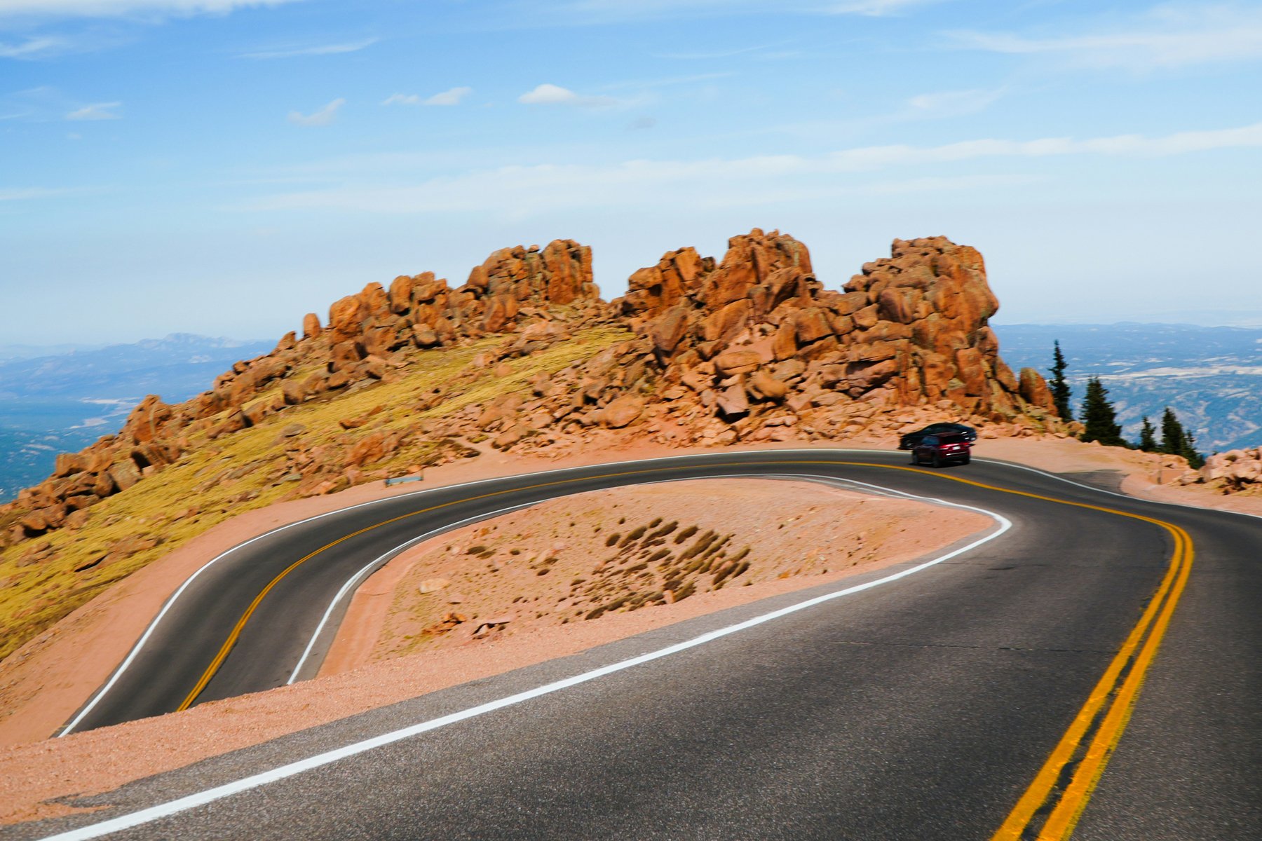
Photo Jake Kling / Unsplash
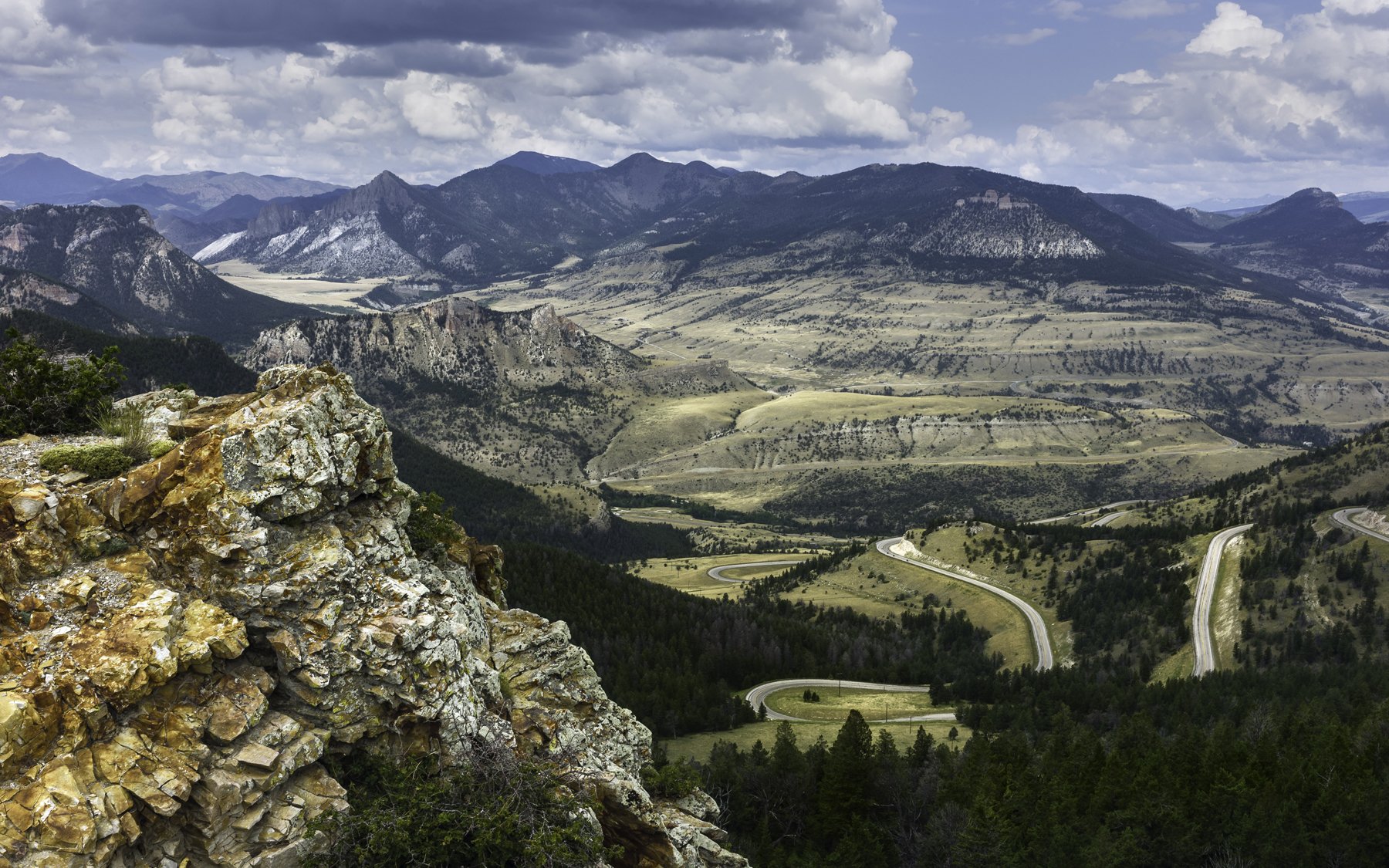
About halfway between the official start line and the top, you’ll find yourself above timberline. When there are no trees, the road edges become very real, and you must focus on the task at hand. Trust me on this…use the ascent for the fun of the road and a slower descent to gawk at the incredible vistas around every hairpin turn. Frost heaves and gravel can catch you out, and remember, there are no guard rails in places.
Save the scenery scan for the leisurely trip down; it’s all about the narrow asphalt ribbon on the way up. Once you have made it to the summit on one of the most visited peaks in the world, the state-of-the-art Visitor Center gives you a 360-degree view of all the beauty of the Rockies, the same view that inspired Katherine Lee Bates to write America the Beautiful. Remember, the weather at the top may be nothing like it is where you began, and it will be 20 to 30 degrees cooler at the top so plan layers accordingly!
While you catch your breath, shortened by both the altitude and the view, take time to enjoy one of the famous high-altitude doughnuts and a cuppa and just savor the moment. It’s truly special.
Words Ross Robbins
Additional Photography Andjela Arsic / Joe Dudeck / Kevin Dora / Nathaniel Redmon


ROADBOOK
CLASS: Mountain PAss
NAME: Pikes PEak
ROUTE: Pikes Peak Tollway Gate to Summit
COUNTRY: USA
Distance: 18 Miles
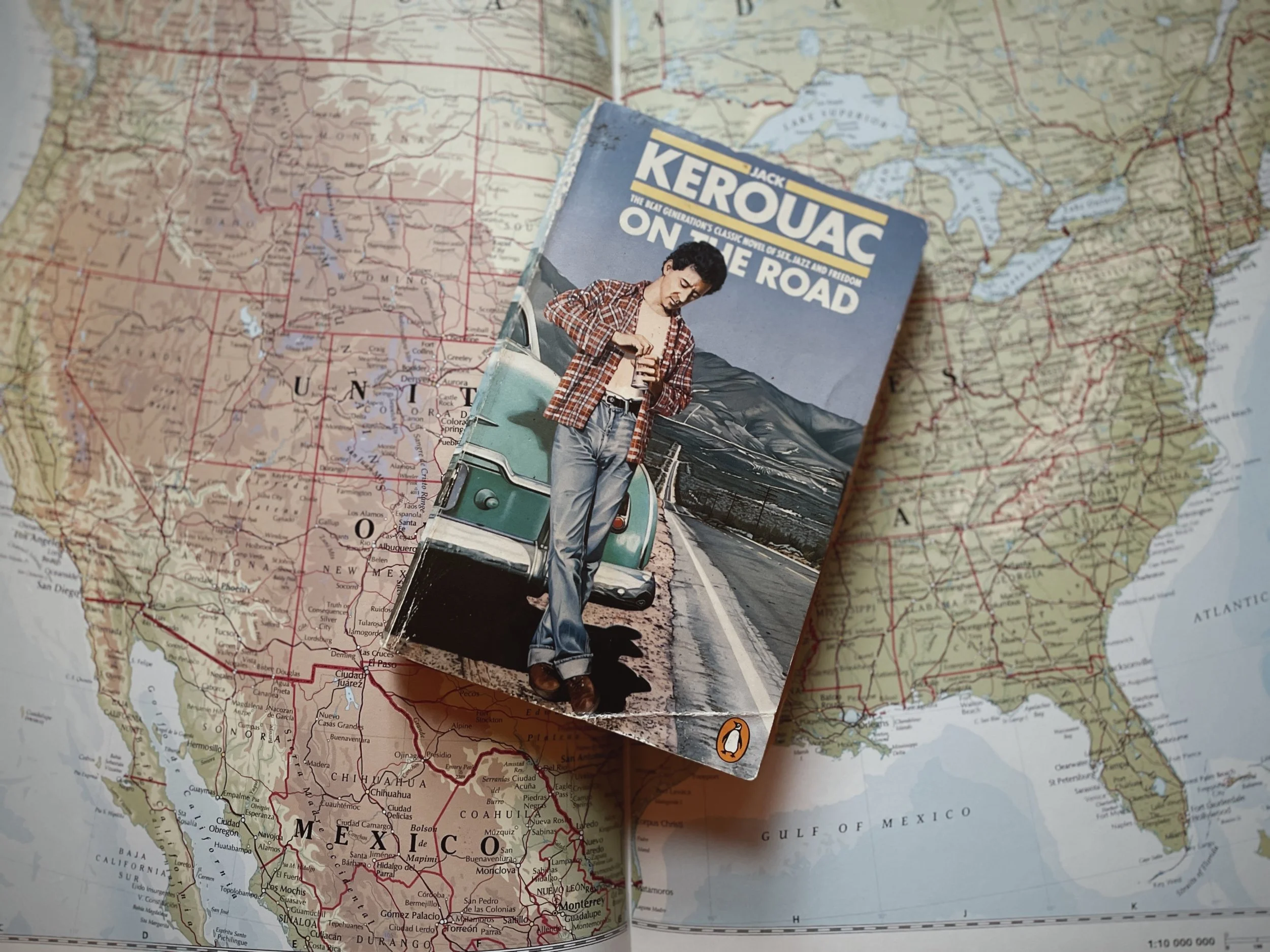


In Taylor' Sheridan’s Yellowstone the Dutton clan are forever driving across the breathtaking Montana landscape. Here’s how to follow them.