
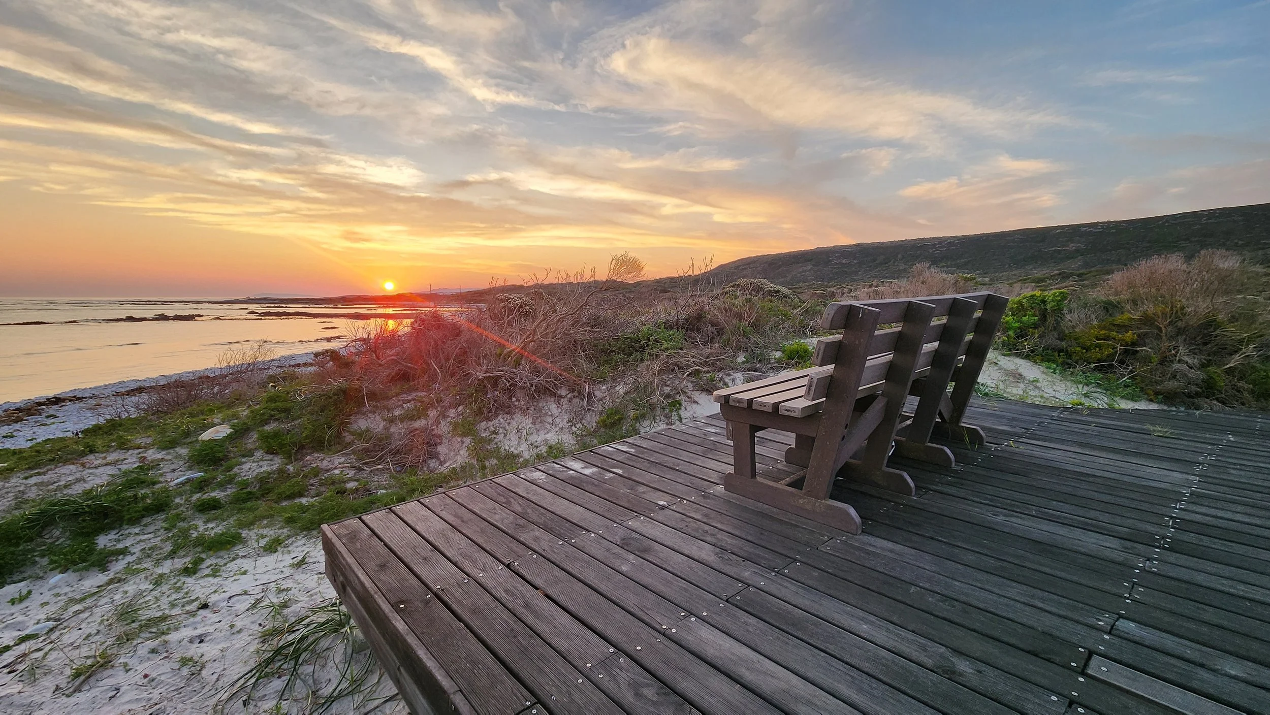
Photo: Sudhir Matai
The picture postcard peninsula of Cape Point is not, as many people believe, the southern most point of Africa.
That accolade goes to Cape Agulhas, which has been verified as the geographic southern tip of Africa, a full 55km further south than Cape Point. This significant outcrop is also recognised as the dividing line between the Atlantic and Indian oceans. Incidentally, Agulhas is taken from the Portuguese word for needle, as all compass needles point due north from this point.
It is in the depth of the South African winter, that we set off to drive as far south in Africa as one can. The Mrs and I need an escape, which conveniently coincides with a winter accommodation special being offered by our national parks service.
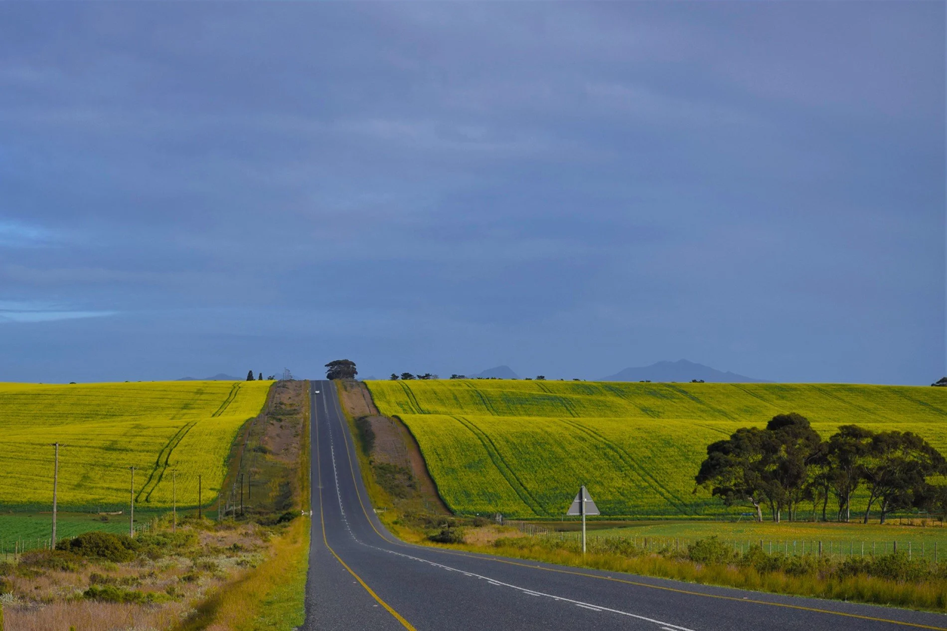
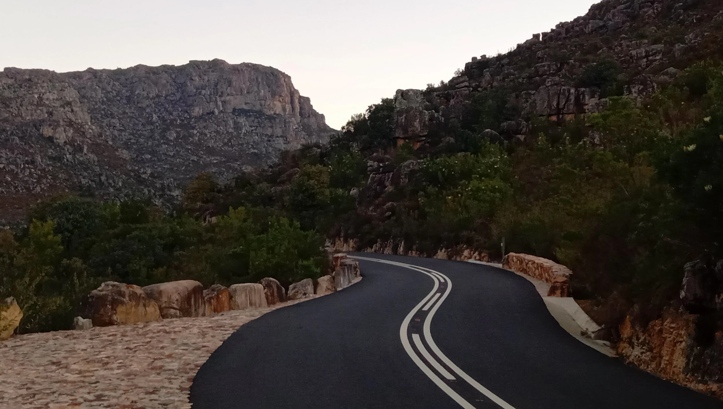
The trip to Agulhas takes about three hours from Cape Town and about half the journey takes place on the N2 national road, which can get quite clogged at the start of a weekend. The other half of the journey uses regional roads that lazily wind over verdant hillsides, punctuated by farming communities at Caledon, Napier and Bredasdorp. There are alternative routes, depending on how much time you have on your hands, which will allow you to stop in places such as Stanford and Elim, or perhaps a quick detour to Arniston, another quaint coastal town.
If you are making a beeline for Agulhas, the very last ‘town’ you pass through is Struisbaai, which is where you’d want to shop if you are planning on staying at one of the many self-catering options in the area. The town’s most famous resident is Parrie the Stingray a 2,1-metre wide 350 kg short-tail stingray. Parrie has been a daily visitor to the harbour for about 30 years where he can be hand-fed by the locals.
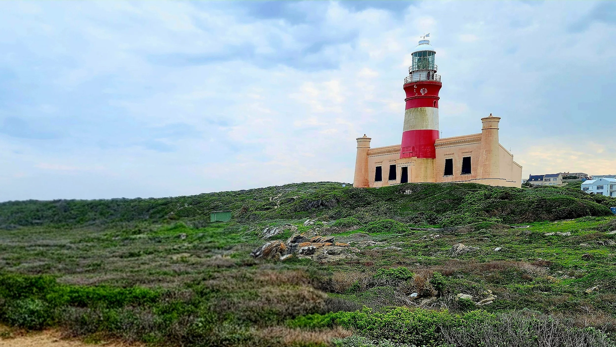
Cape Agulhas is a short drive down the road. Incidentally, it has its own little village called L’Agulhas, easily spotted by the second oldest lighthouse in South Africa that warns ships of the dangers the rocky coastline can dish up. Although a string of wrecks in the area will attest that the warnings often go unheeded.
L’Agulhas is home to the Southern Most Pub in Africa, which we visited to share a drink with the locals, the Southern Most Bakery in Africa, the Southern Most Real Estate Agent in... you get the idea.
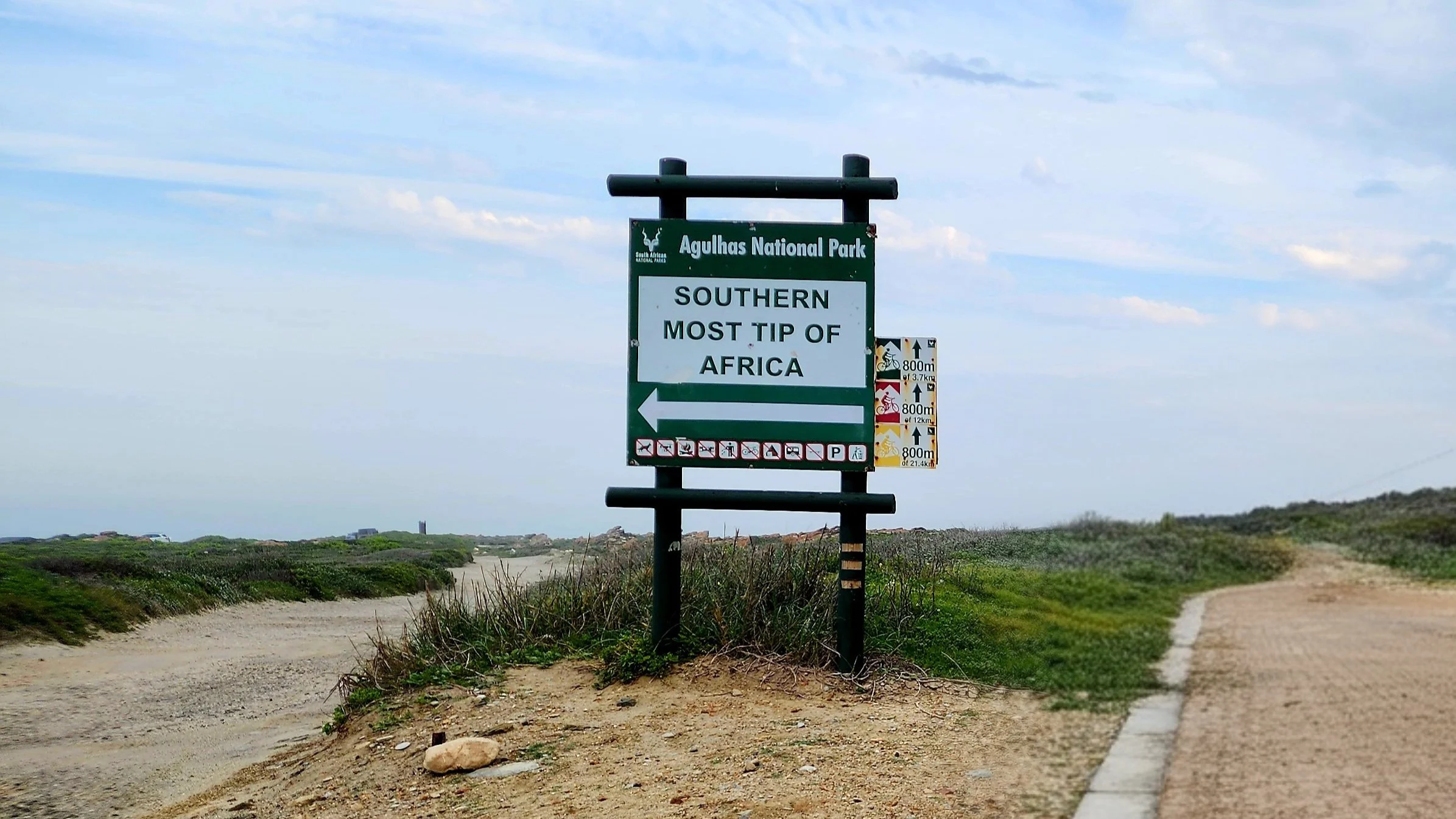
Finally, we arrive at the place from which all of Africa is North. Cape Agulhas is heralded by a rather small sign and an unpaved road. The exact spot has a cairn denoting its geographical significance. There is also a massive metal map of Africa pointing due South, highlighting significant mountainous areas.
There isn’t much else to do, but we take our time there, enjoying the solitude and incredible views and snapping too many pics. Leave this spot due South and the next piece of land you hit is Antarctica.
As we are staying close by at Agulhas National Park, the southernmost National Park in Africa, we can’t resist stopping by a few more times over the course of the weekend. Agulhas National Park is a hidden gem. There are just a few self-catering units, so few that we only see one other couple the entire weekend. In fact, the park can only be accessed by overnight visitors. There are long beaches and many natural pools, as well as its own hiking trail.
Cape Point may get all the headlines, but if you truly want to go as far South as land will allow, then set your compass for Cape Agulhas.
Words & Photography Sudhir “Banzai” Matai Twitter | Instagram
ROADBOOK
CLASS: Land’s End
NAME: Cape Agulhas
ROUTE: Cape Agulhas
COUNTRY: South Africa




The picture postcard peninsula of Cape Point is not, as many people believe, the southernmost point of Africa.