
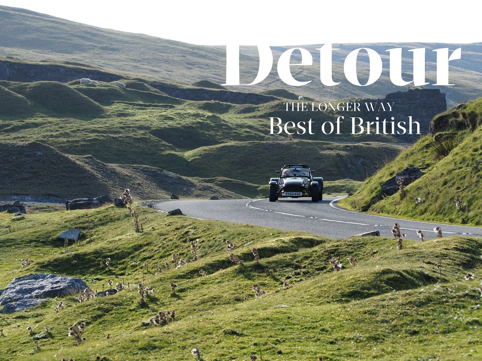
Detour #307: Three Peaks, One Drive, UK

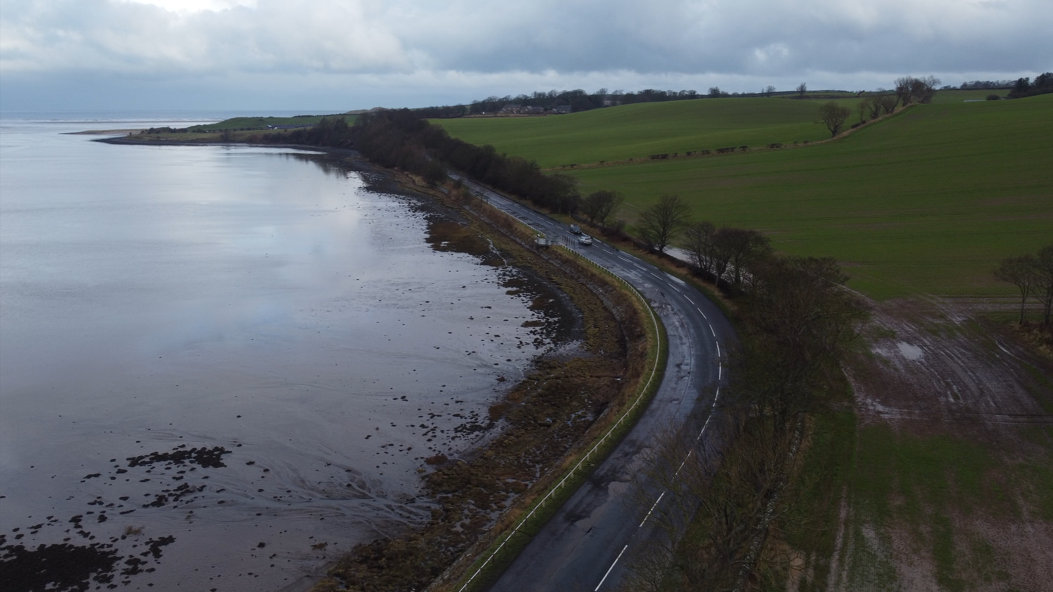
En route to Glen Nevis Photo Shutterstock
Taking on the three highest mountains on the UK mainland is almost as challenging a drive as it is a hike.
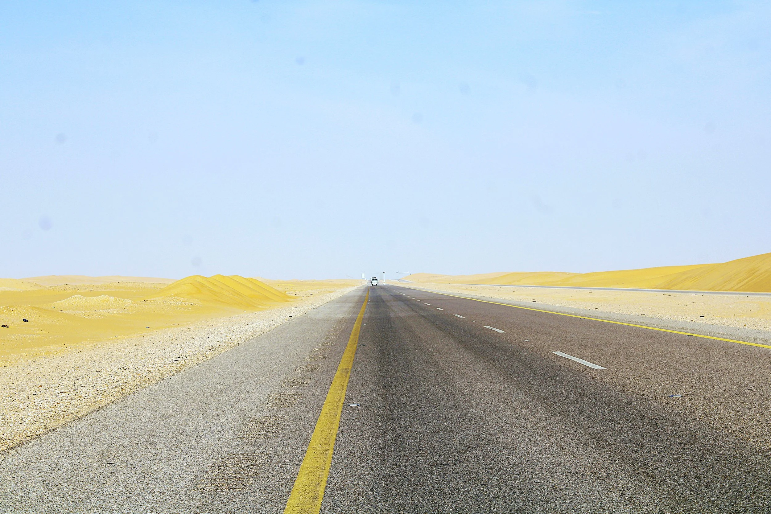
The Three Peaks Challenge is one of the toughest trials hikers in the UK could ever face, with a walking distance of 23 miles and a total climb of 10,052 feet (3,064 metres) up the highest peaks of Wales, England and Scotland. Added to that is the 470 miles of driving distance between Yr Wyddfa, Scaffel Pike and Ben Nevis.
The hardest of hardcore hikers aim to complete the challenge within 24 hours, usually starting at sunrise. The official Three Peaks Challenge website reckons anyone attempting this feat should have two dedicated drivers who aren’t taking part to tackle the 10 hours behind the wheel, using the fastest route.
However, with a little more time on your hands, you can opt for a more enjoyable and less exhausting drive and a hike that hurts a little less.
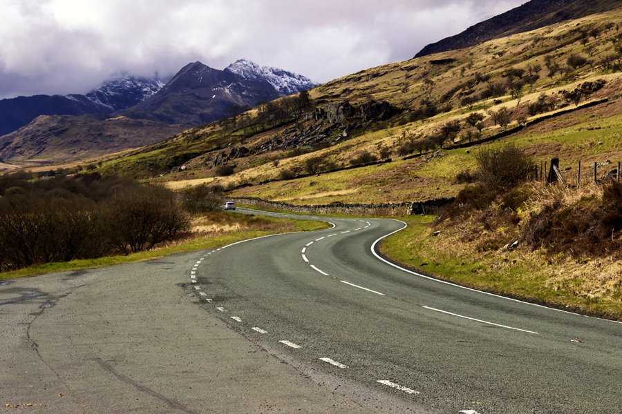
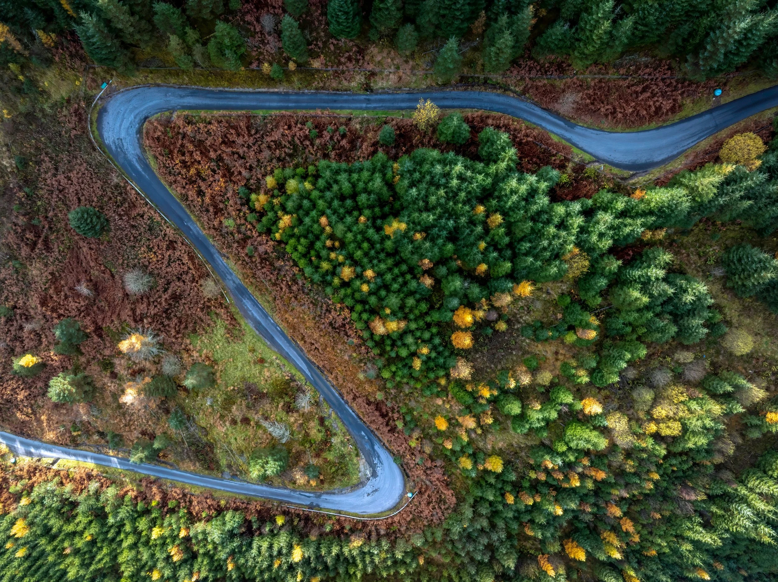
Sweeping through Snowdonia Photo Shutterstock
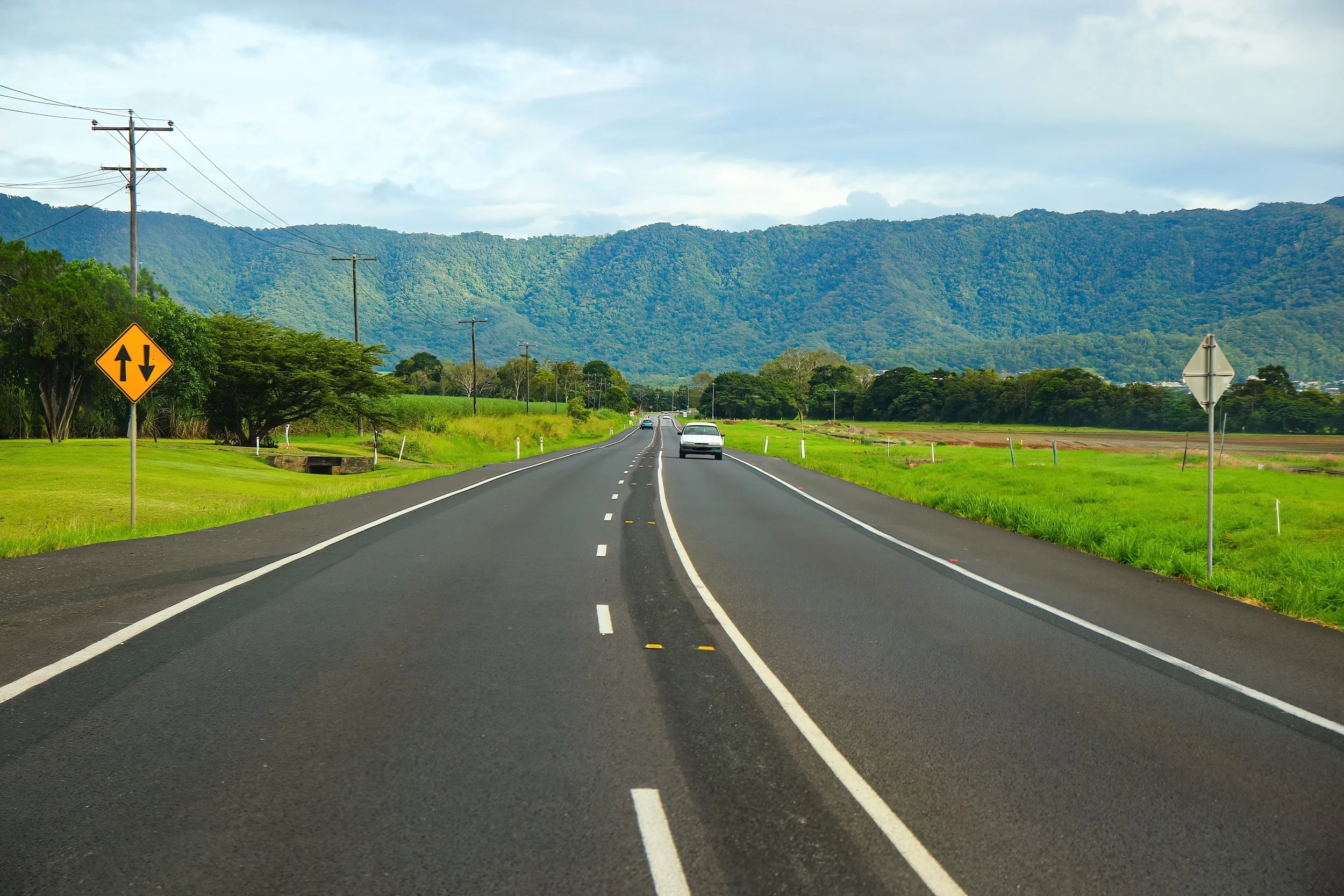
From the base of the first peak Yr Wyddfa (Snowdon) to Scaffel Pike in the Lake District is the best part of 200 miles. Head north beyond Llanberis to reach the A55 and follow this gently winding coast road towards the English border. Then join the A494 north, picking up the A50 and A41 across the Mersey into Liverpool. Your next waypoint is Ormskirk on the A59, followed by Preston where you join the A6 up through Lancashire. If you are up for a detour then the Forest of Bowland is worth a visit, but otherwise you’ll carry on to Kendal where you can stock up on some mint cake for sustenance.
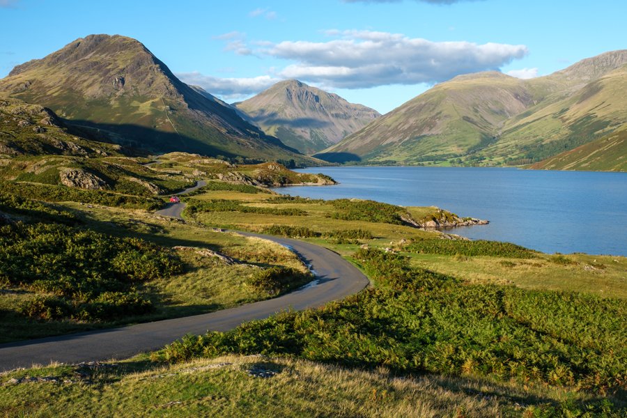
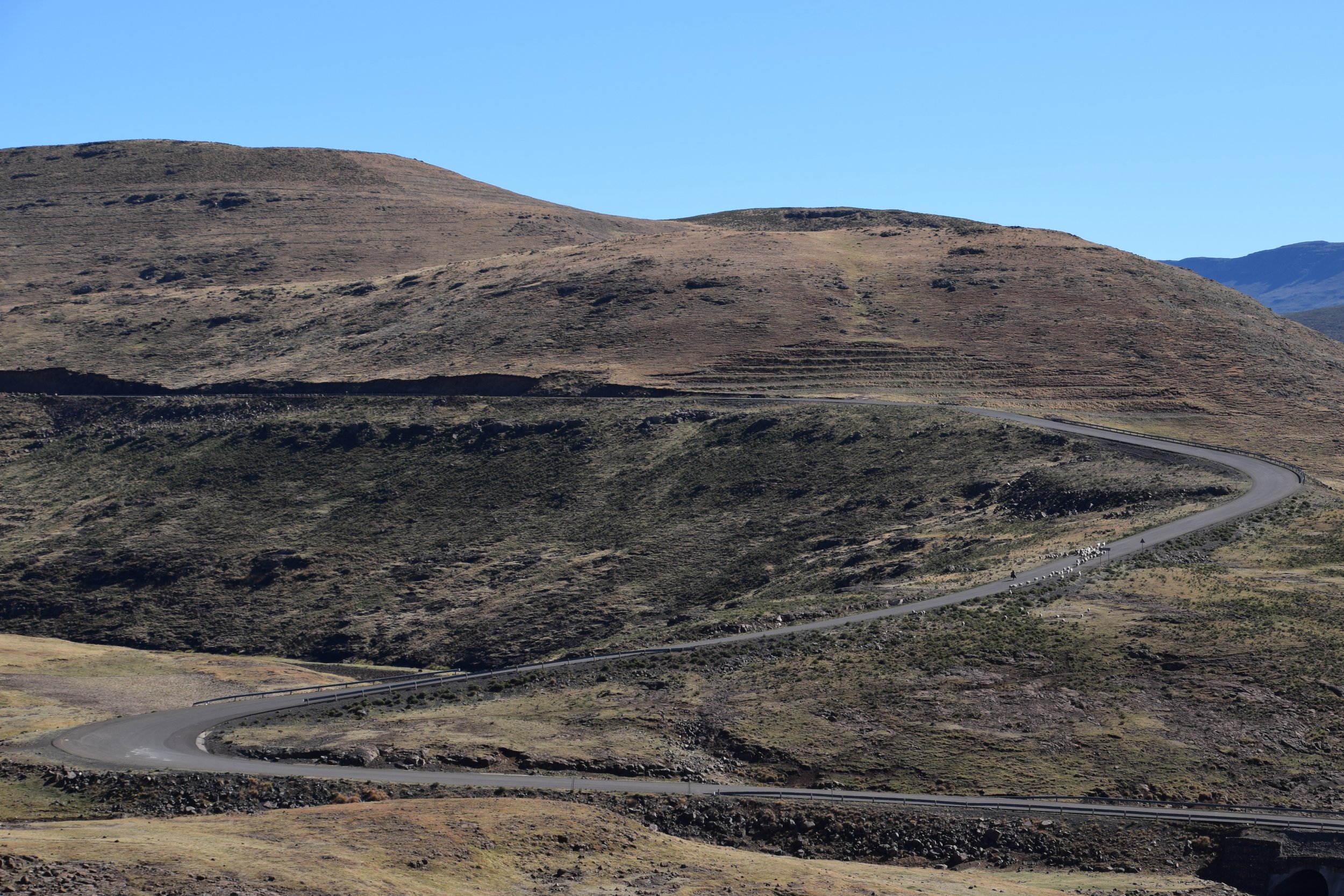
On the way to Wasdale Photo Shutterstock
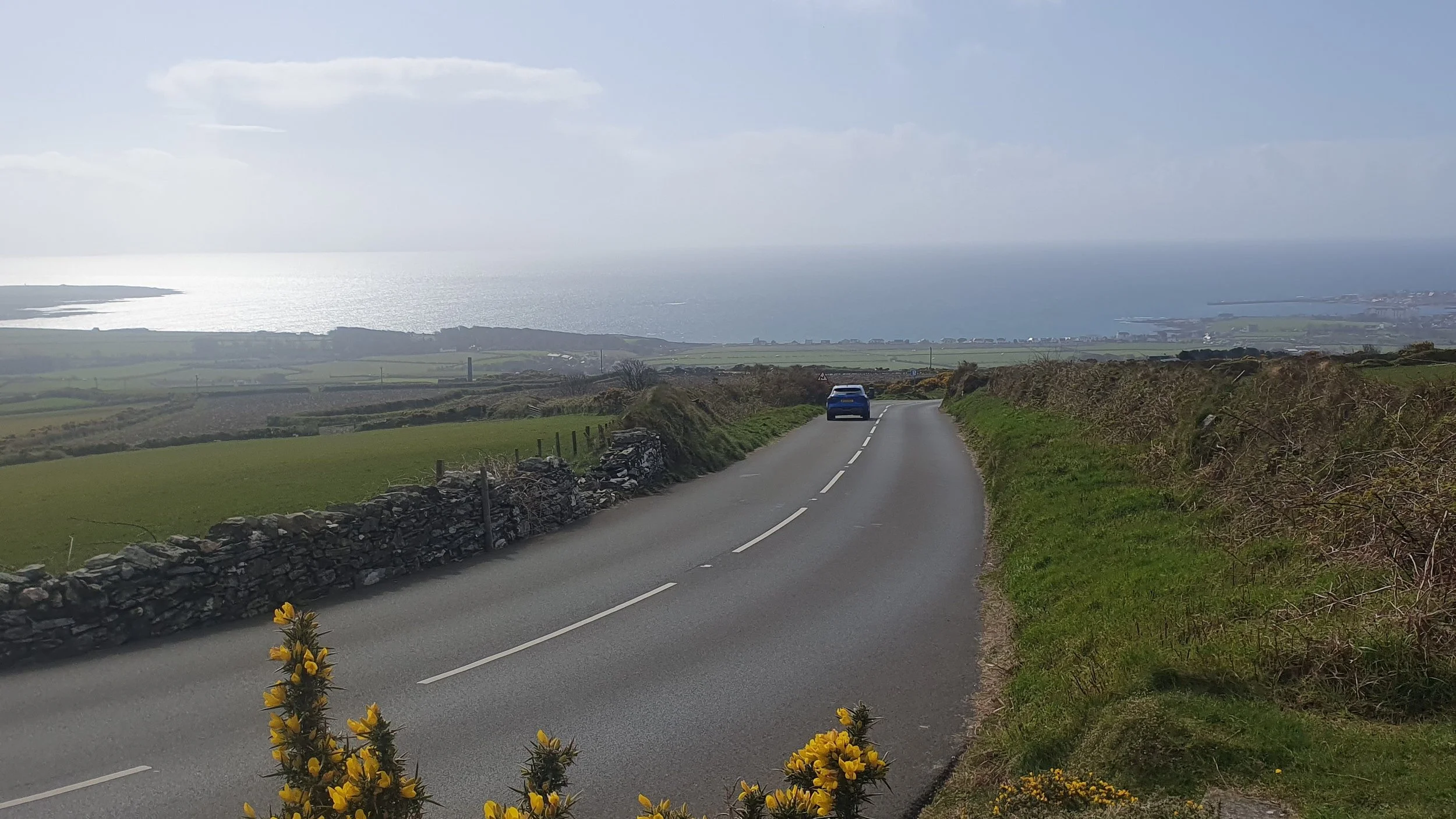
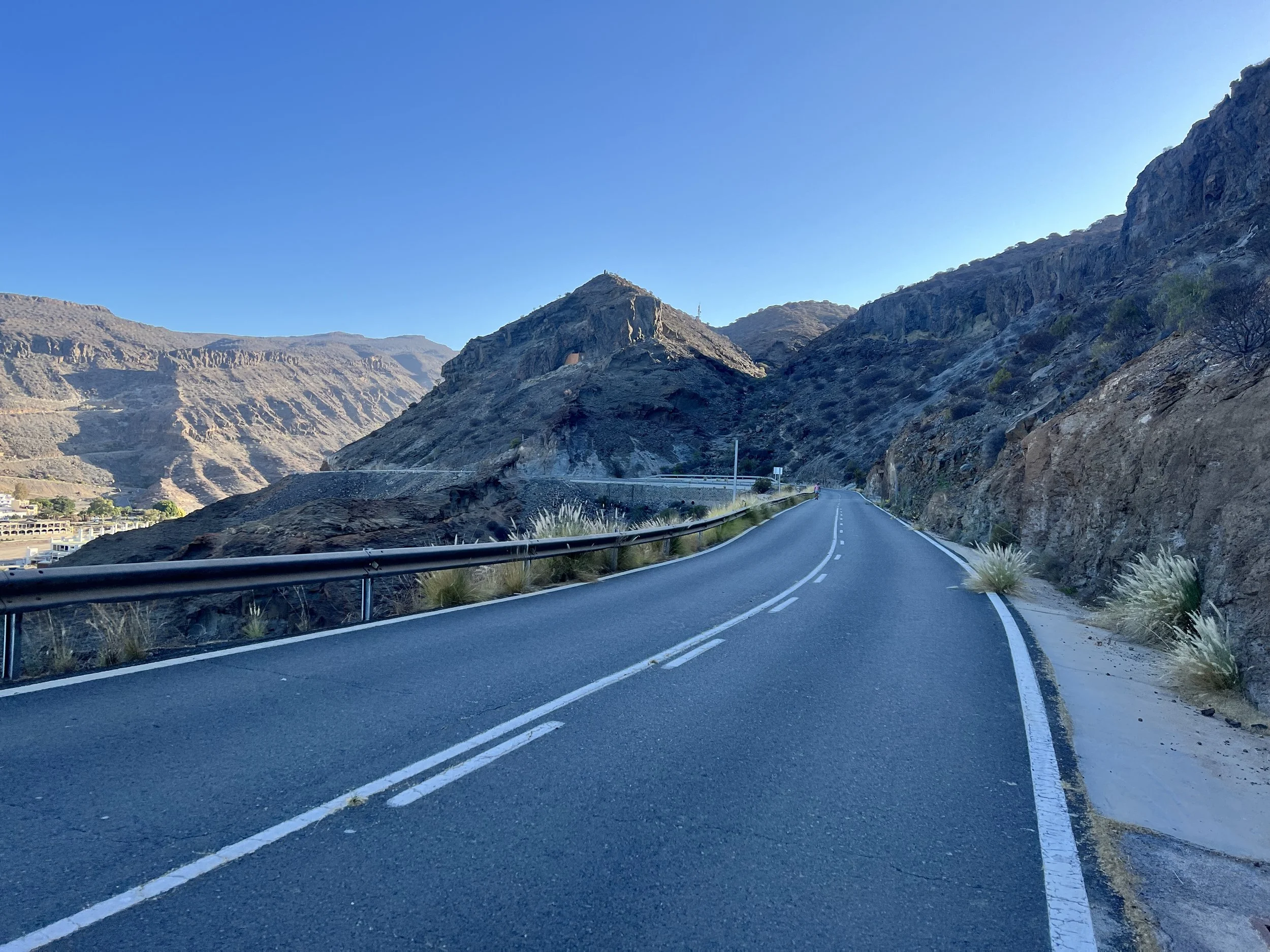
Next it’s the twisty A590 which whisks you past the southern tip of Windermere and then a switch to the A5092 to Beanthwaite. Just past the Greyhound Inn you’ll switch on to the A595 to Dudden Bridge and then the undulating and twisty Smithy Lane to Ulpha. Keep heading north to Eskdale, Santon Bridge and you’ll eventually reach Wast Water. At Wasdale is a car park where you can begin your climb to the top of Scafell Pike, some 978 m above sea level.
When you’re safely back down you’ll backtrack to the water’s edge again and follow Lane Side into Gosforth. The A596 will take you out to the west coast at Whitehaven before driving back inland to Cockermouth and the border town of Carlisle. If you really, really want to avoid motorways then take the A7 to Edinburgh and then go cross-country, but a short stretch of M6, A74(M) and M74 will get you Glasgow much quicker.
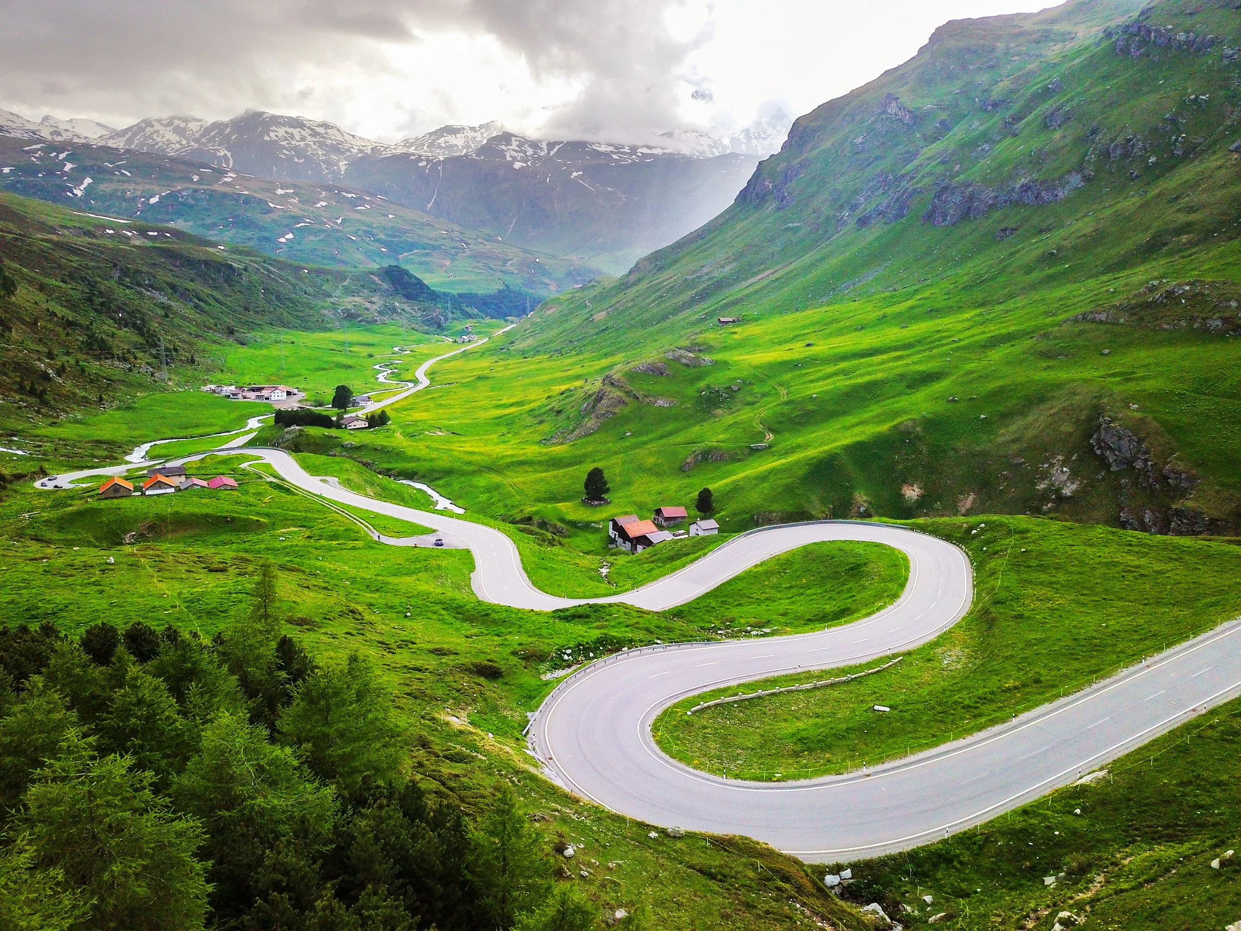
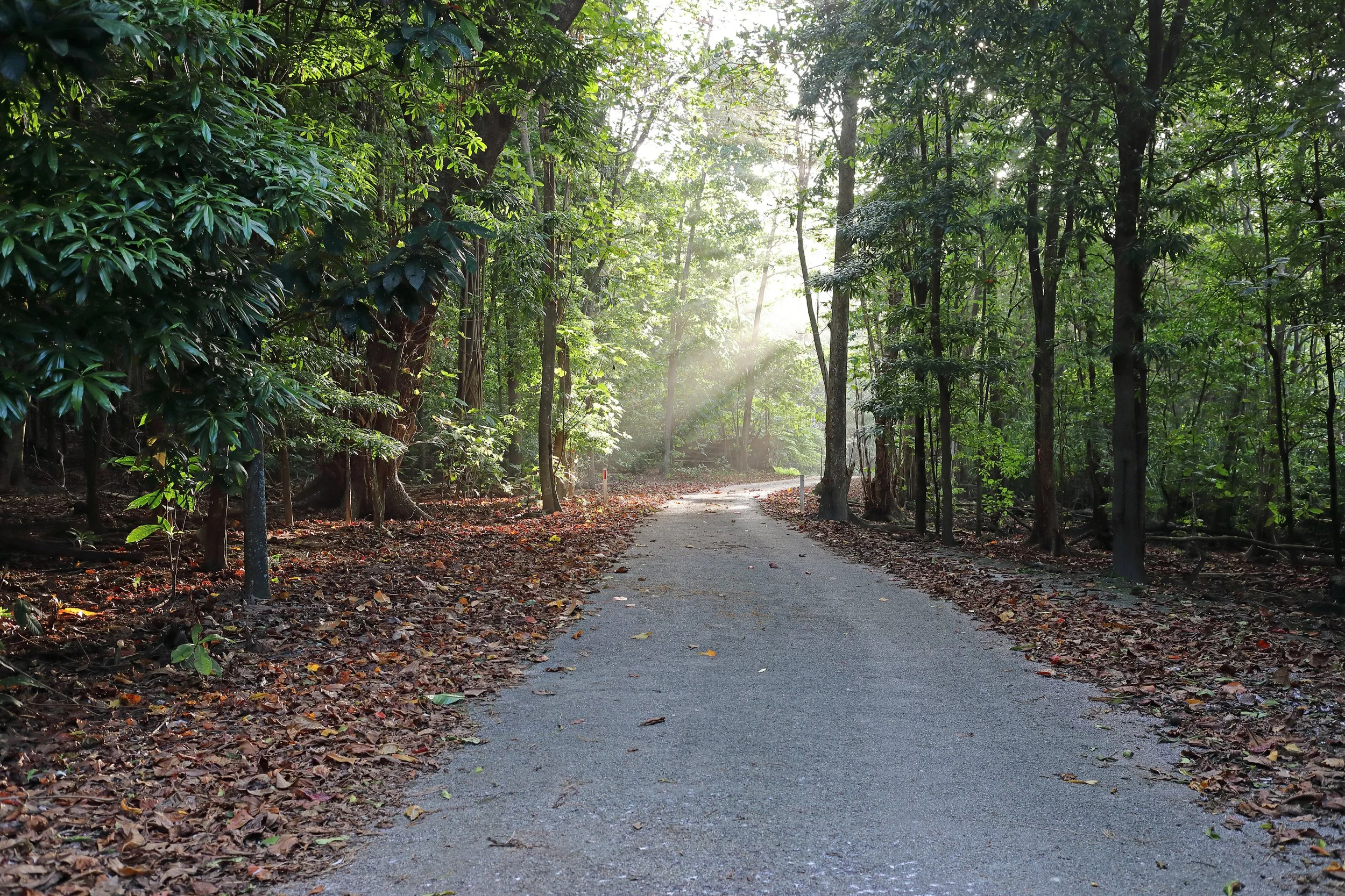
Now comes the most spectacular part of the whole trip as the A82 leads up past the Bridge of Orchy, to the tip of Loch Linhe and on to Fort Wiliam. It’s a journey that really will leave you breathless so make sure you have time to recover before you get to the Ben Nevis Visitor Centre. From here you’re on foot again, for the 10.5-mile Pony Track to the summit.
Whether it takes you 24 hours or a week or more it’s a challenge that you can be rightly proud of.
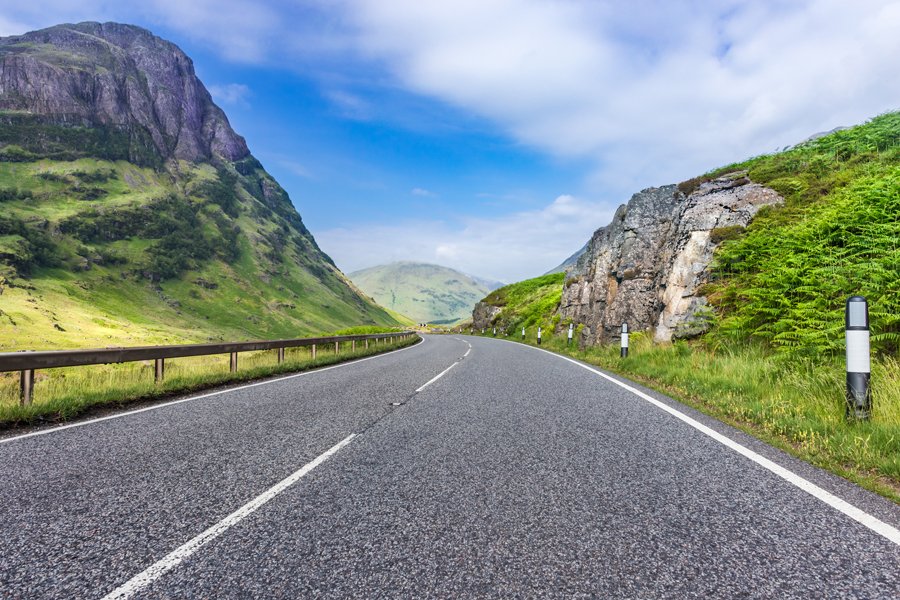
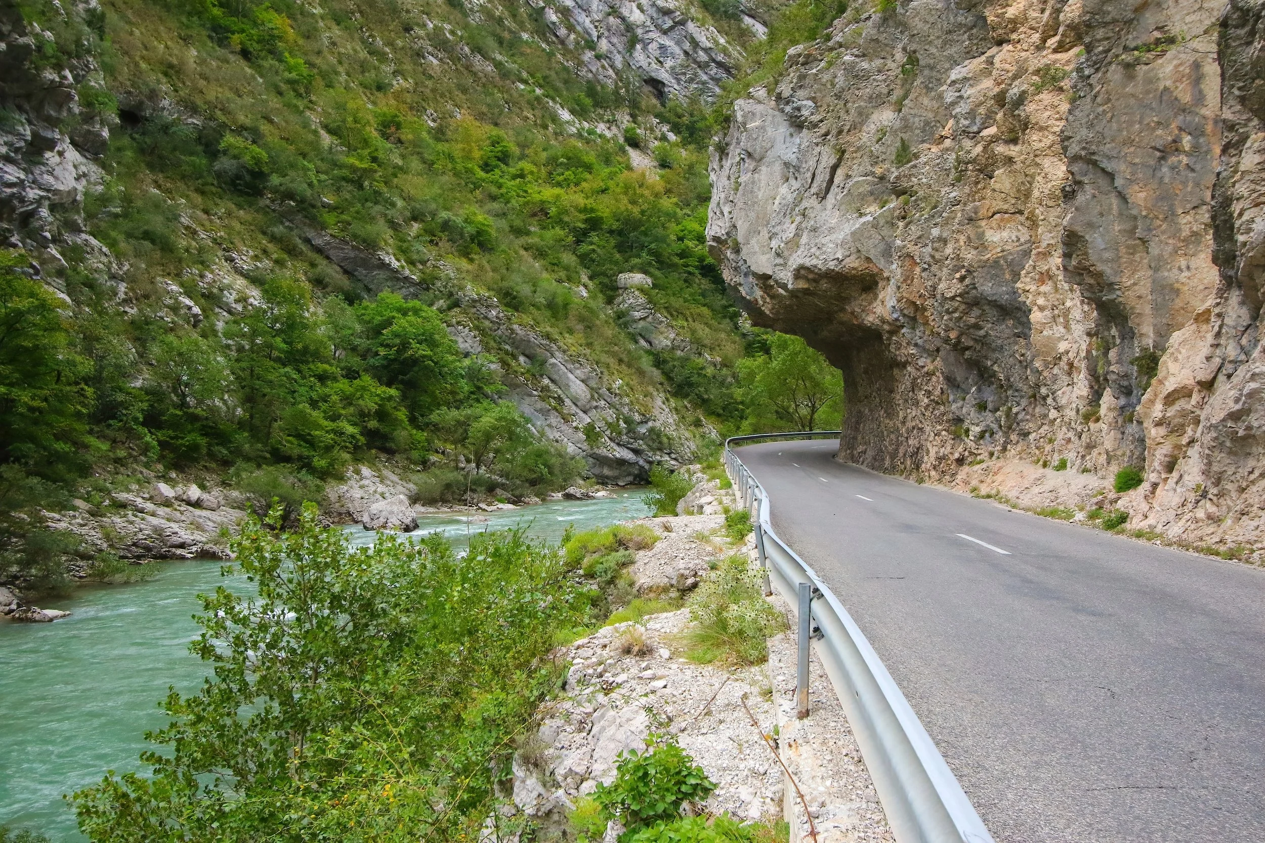
The amazing A82 Photo Shutterstock
ROADBOOK
CLASS: Mountain Motoring
NAME: Three Peaks Challenge
ROUTE: Yr Wyddfa, Scaffel Pike Via Ben Nevis
COUNTRY: Wales, England, Scotland
Distance: 470 Miles


Perhaps it’s a cliché to liken a scintillating stretch of road to a rollercoaster. But with Timmelsjoch, the toll road which straddles the Austrian-Italian border deep in the Tirol region, the comparison feels uncanny.